[slideshow]


The field which was to be the site of Parc-y-Llan, seen from Bwlch Lane, photographed by Huw Parry in June 1980

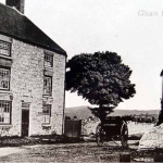
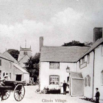
 Two views from the Square, looking towards the Church.


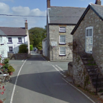
Looking towards the crossroads from the chapel. The telephone box was outside Dolwar, which at that time was the Post Office


The children in the top picture must have constituted most of the child population of the village. They are on the steps of the hayloft of the smithy stable.

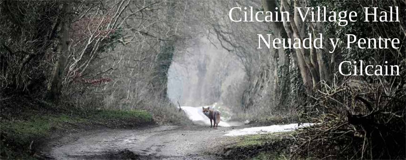
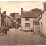
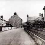
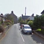
 The Smithy, and the White Horse: Transport may be faster now: but much less interesting……

 Looking from beside Penallt to ‘the Dell”


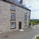
Built as a piece, the three cottages before the crossroads originally all had pitch pine pillars and overhanging brick upper floors: each has an identical cellar under half the house. Two of the three have been shops for much of their history. Only Dolwar is relatively unchanged. The large triangular stone protecting the wall of Foel Awel also remains the same.


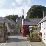
Three views of the square, with its two substantial three-storied houses on the right. The square is less of a square now, having been reduced in width by the pavement on the right and the garden wall of Smithy Cottage.


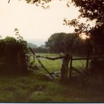
The valley between the Square and the Cross Foxes – with Glanaber, a former Chapel, at the bottom – was much reproduced on postcards, and known as ‘the Dell’. It is too heavily wooded today for comparative photographs to be shown.
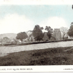
Some postcards from Sarah Booth’s collection: A picture taken from the field above the Waen, before 1906: the old School (Village Hall) is on the left


To see pictures of Old Cilcain School in the 1960′s, visit http://web.me.com/huwparry/THE_OLD_SCHOOL/1960_Photos.html
To see the 1912 punishment book,
visit http://web.me.com/huwparry/THE_OLD_SCHOOL/1912_Punishment_Book.html
thanks to Huw Parry for these links!
Pictures by David Allen of the Church Roof may be seen on
http://www.flickr.com/photos/66014479@N02/6072733255/in/set-72157627361815406/lightbox/